
How Albany Neighbors Records Describe a Block
A block lookup works by layering records with different units of proof. The Alameda County Parcel Viewer supplies geometry, APNs, adjacent parcels, and map layers. PropInfo supplies assessment facts for a known address or parcel. The county tax search reports bills, assessment years, installments, and payment status. A deed names transaction parties and carries the legal description. Albany permits and planning files add project history, while reverse directories can supply a historical occupant snapshot when an edition actually covers Albany. None of those layers alone is a current resident list.
| Source | What It Shows About a Block | Access |
|---|---|---|
| Alameda County Parcel Viewer | Parcel polygons, APNs, adjacent parcels, selected layers, and map context | Free viewer and map resources |
| Alameda County PropInfo | Situs address, APN, use, tax area, assessed land and improvement values, and map or tax links | Free known-address or APN search; owner visibility varies |
| County property-tax search | Address or APN, assessment year, secured or supplemental bills, installments, and payment status | Free search; payment functions are separate |
| Clerk-Recorder deed index | Grantor and grantee, instrument number, document type, recording date, and legal description | 1969-present electronic index; older microfilm in Oakland |
| Albany permit and planning files | Project address, applicant, contractor, owner where shown, scope, dates, and hearing history | City pages, agendas, packets, and records request |
| Election and directory sources | Individual voter status or historical street-number occupants when lawful access and edition coverage allow | Individual verification, qualifying requests, or library research |
Owners, taxpayers, and occupants are separate concepts. A mailing address may be elsewhere, a parcel may contain several units, and a deed party may be a trust, spouse, lender, or seller. A permit applicant may never have lived at the project. Neighbor research is strongest when each row says exactly what the source proves and leaves the rest unclaimed.
Albany Block Records by Adjacent Parcels
Start with the target address in the Alameda County Parcel Viewer. A map selection is a parcel, not a person. Record the APN and situs address, then select parcels on both sides and across the street. Postal-number sequence is not a safe substitute for parcel adjacency because lots can be split, combined, shaped around corners, or separated from the next number by an access way.
- Locate the target. Search the address or APN, confirm the parcel polygon, and note the map layer or jurisdiction shown.
- Read the surrounding geometry. Select adjoining parcels on each side and across the street, recording APNs before looking for names.
- Open each property record. Test every APN or known address in PropInfo and the county tax search; keep situs, mailing, taxpayer, and owner fields apart.
- Bridge title evidence. Use the latest recorded deed and legal description for ownership continuity, then mark deed parties as transaction participants rather than automatic occupants.
- Add block activity. Check Albany permit and planning material for project dates, applicants, contractors, and public hearing context.
- Stop at the right scale. Use a reverse directory only for a historical snapshot, and move to the Albany street directory when the question becomes a full named-street chain.
The resulting block table can list parcel sequence, public assessment characteristics, transfer dates, permit activity, and historical directory entries. It should not republish a household roster or treat a map click as proof that a particular person lives there.
Albany Parcel, Tax, Deed, and Permit Records
PropInfo is the bridge from a known Albany address to an APN and assessment record. Typical facts include the situs address, tax-rate area, use or type, assessed land and improvement values, parcel-map links, and tax links. The county's property-information hub and tax search add administrative context, but assessment is not title. Payment status is a tax fact, not a statement about who occupies a building.
Deeds answer a different question. The Clerk-Recorder's electronic name index reaches from 1969 to the present, while official records reach back to 1853 and pre-1969 documents require hand or microfilm research at 1106 Madison Street in Oakland. Search the known owner as a grantee in earlier years, compare the legal description and map references, and preserve trust names, spouses, middle initials, and spelling variants. A deed of trust is security for financing, not automatically a conveyance.
The Alameda County property-tax search can be checked by property address or parcel number. For record copies or a deeper chain, use the Clerk-Recorder official-records page. The index is a reference aid, and the office says it does not verify authenticity. The legal description, not just a street label, is the continuity key when an APN changes after a subdivision, lot-line adjustment, condominium creation, or parcel combination.
Permits and planning files add a time-stamped project layer. A permit number, site, applicant, contractor, work description, valuation, application date, issue date, or final inspection can explain a change on the block. A planning packet can carry a project address, owner or applicant name, design-review history, zoning clearance, conditional-use matter, or public hearing attachment. Those facts show participation in a project, not household occupancy.
- Parcel
- A mapped unit of land identified by an APN. One building can hold several parcels, and one parcel can hold several units.
- Situs address
- The physical location used by the assessor or permit system. It can differ from the owner's mailing address.
- Legal description
- The lot, block, tract, map, or metes-and-bounds language in a deed. It can carry title continuity through a postal change.
- Occupant
- A person using a space. Public parcel, tax, deed, and permit records do not automatically identify every occupant.
Scale check. The cleanest block record has one line for geometry, one for assessment, one for title, and one for project history. Do not merge them into a single resident claim.
Albany Neighborhood Areas Shape Block Context
Albany has a compact footprint, yet its informal area names can change how a block is described. The waterfront and Golden Gate Fields area, West Albany, the Solano Avenue corridor, and the Albany Hill vicinity are useful local frames in planning and community talk. They are not automatically legal neighborhoods. Unless an Albany map defines a boundary, use the area name as context and retain the parcel's incorporated-city and county jurisdiction as the record key.
Waterfront or Golden Gate Fields references can point toward west-side and regional edge context. West Albany is a useful local label for a different part of the city. Solano Avenue is a major address and business corridor, while Albany Hill is a distinctive landmark and residential vicinity. The names help a reader understand a block's setting, but they do not prove that an address belongs to an association, school area, service zone, or official district.
The Berkeley edge creates another trap. A postal city can differ from the incorporated city, and a regional directory may group Albany with Berkeley or Oakland. Confirm the USPS form, the parcel's city, and the record custodian as three separate questions. A ZIP, a street label, or a neighborhood phrase should narrow a search, never decide jurisdiction on its own.
Albany Permit Records Add Project Context
The Albany Community Development building and planning pages are useful when a block question concerns a remodel, addition, lot change, public hearing, or design-review event. Search by address or project when the city exposes an online entry point, then note the permit status, work description, applicant or contractor, and relevant dates. Planning packets and council or commission agendas can retain a fuller narrative than a short permit summary.
The Albany Building Division page is an access point for permits, inspections, forms, and address-based building history. The city's planning and zoning material can add project applications, zoning clearances, conditional-use matters, and hearing attachments. A final inspection can date completion, but an application alone may describe work that was not completed. Neither record proves who lived at the address.
When a needed packet is not posted, use the Albany public-records request route. Name the department, address or project, record type, and date range, and ask for existing records rather than a new list. Under the California Public Records Act, an agency generally has 10 calendar days to determine whether responsive records exist, with a written extension of up to 14 days in unusual circumstances. Exemptions, redactions, and duplication charges may apply.
Albany Neighborhood Context Sources
No authoritative, city-wide roster of current neighborhood associations was located. That gap matters. A public community layer can describe a corridor, a planning issue, a historic place, or a public meeting without exposing private membership. The following sources support block context while keeping the distinction between public participation and household identity.
Albany planning packets
Public project addresses, hearings, site plans, and applicant or owner names where the packet discloses them.
Solano Avenue public layer
Business and community records can describe a public-facing corridor. They are not a private member directory.
Local historical-society materials
Programs and publications can supply local-history leads. Verify names and dates with a primary record.
Albany Library history tools
The Alameda County Library genealogy resources include Albany photographs and licensed history databases.
Do not scrape a current membership page, infer a household from a public meeting comment, or turn a civic group into a block roster. For older neighbors, the Haines suburban criss-cross holdings, telephone directories, newspapers, and the Albany Historical Photograph Collection can add a dated lead. The edition's Albany coverage and the printed address or caption still need to be checked.
Albany Neighbors and Voter-File Rules
The Alameda County elections overview image below represents an individual-service layer, not an open block list. A voter can use California My Voter Status or Alameda My Voter Profile to check their own registration, polling place, sample ballot, vote-by-mail status, language preference, elected officials, and eligible districts. These tools do not authorize browsing nearby voters.
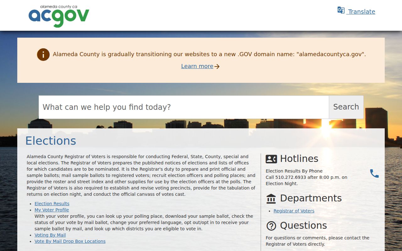
The elections view helps locate the correct custodian and personal-status route. It does not turn a block into a public voter directory.
California voter files are released only through a qualifying application for election, scholarly, journalistic, political, or governmental purposes under Elections Code sections 2187 and 2194. The request must identify the requester, organization if any, data and geography, purpose, security and storage practices, delivery choice, signature, and date. It may include names, residence or mailing addresses, party preference, registration date and status, precinct or district data, and voting history, subject to authorization and exclusions. Signatures, Social Security numbers, and driver's-license or state-ID data are not released. For ordinary neighbor curiosity, use parcels, permits, public meetings, and consensual contact instead.
Albany Public-Safety Records Have Different Uses
A block search can raise a safety question, but custody and registry records do not prove that a person lives nearby. The Alameda County Sheriff inmate locator covers county custody, while the California Department of Corrections and Rehabilitation locator covers state prison records. A custody result is time-sensitive and should be used only for a lawful family or safety purpose.
The Alameda County Sheriff inmate locator is the source for the image below. It answers a custody question, not a parcel or neighbor question. Arrest or custody information is not a substitute for a court disposition, and a name match still needs identity controls.
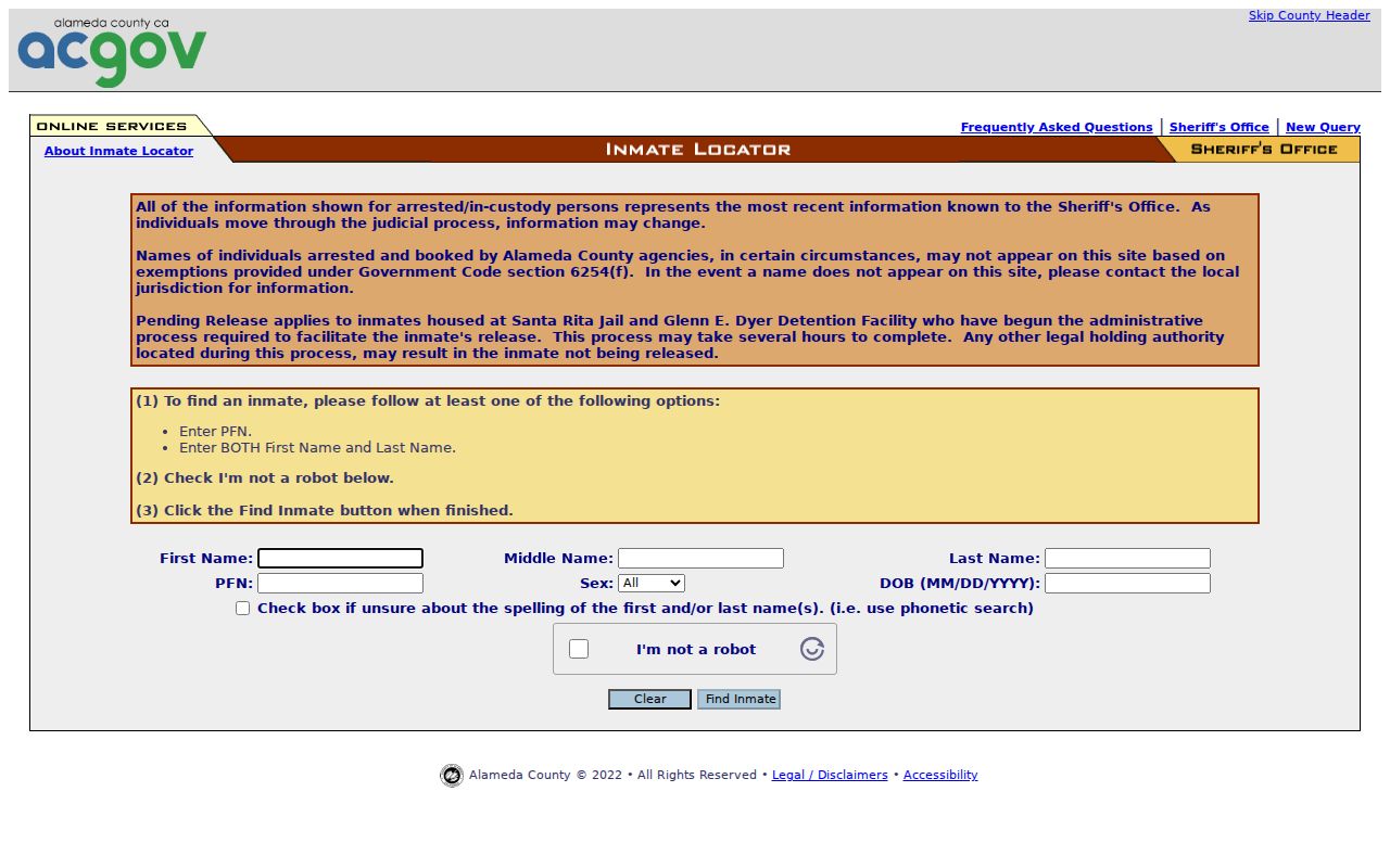
The locator belongs in a separate safety or family workflow. It should never be used to build a block list.
The California Megan's Law public website also carries statutory limits and exclusions. Its search can use a name or a map or address vicinity, and displayed fields vary by disclosure category. The registry expressly warns against harassment or threats. Juvenile, sealed, expunged, protected-victim, active-investigation, and other restricted records may be absent. A neighbor lookup must stop at the lawful purpose and the information the custodian chose to disclose.
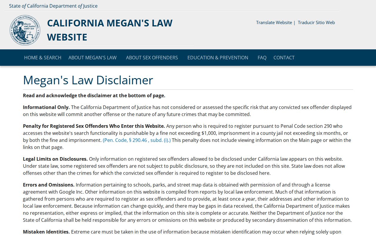
The registry image reinforces a narrow rule: a public safety resource is not permission to target, map, or contact a person.
Privacy Limits on an Albany Neighbor Lookup
Public block research has hard edges. Household members and other occupants are not a complete public index. Utility, delivery, DMV, and protected voter details are not open neighbor sources. Safe at Home can give eligible survivors and other people who fear for their safety a substitute mailing address, mail forwarding, an agent-for-service address, confidential voter registration, and possible DMV suppression or confidential name change. It does not retroactively erase old public records, and a deed's legal description can still identify a property location.
Official records and commercial locator tools also differ in purpose. A commercial result may be quick but can merge names, lag behind a change, or repeat an unverified source. Local records have a custodian and a narrower meaning, but they can be incomplete, protected, or difficult to access. Use the comparison to choose a source without treating any category as a ready-made list of Albany neighbors.
| Question | Official local record | Commercial locator category |
|---|---|---|
| What it may show | Parcel geometry, assessment facts, deed parties, permits, public filings, or a dated directory entry | Aggregated names, addresses, or possible associations assembled from mixed sources |
| Source control | Named county, city, court, library, or state custodian with stated access rules | Provider-controlled data mix and update cycle |
| Best use | Verify one narrow fact, trace a parcel, understand a project, or research a dated history | Generate a lead that must be checked against the custodian |
| Key limit | Protected details, gaps, redactions, and no automatic proof of occupancy | Name merges, stale entries, unclear provenance, and no guarantee of identity |
Lawful use. Albany neighbors records are for personal, lawful research, family history, civic understanding, and safety awareness. Do not use a parcel, voter, court, registry, or directory result to stalk, harass, threaten, impersonate, or expose another person.