
Walk the Albany Street Directory One Parcel at a Time
A useful street directory begins with a single complete address. The address is a key, not a conclusion. In Albany, the county parcel viewer can turn it into an APN, PropInfo can supply assessment facts, and the latest deed can supply the legal description and recorded parties. From there, the street trail can widen to adjoining parcels, planning packets, a reverse directory, or a historical household source.
Follow the chain in order. It keeps the modern property record separate from older occupancy clues and prevents a street search from becoming an unsupported household roster.
- Normalize the street number, street name, type, unit, city label, and ZIP. Try common forms such as “Street” and “St” when an older index or OCR search is involved.
- Run the address in Alameda County PropInfo and save the APN, situs address, map link, and assessment facts.
- Open the same parcel in the Alameda County Parcel Viewer and identify adjacent parcels, jurisdiction, and useful map layers.
- Use the APN and legal description to bridge to the latest recorded deed, then search the seller as an earlier grantee when an ownership history is needed.
- Add permits, planning packets, a lawful individual voter confirmation, or a regional criss-cross directory only for the narrower fact each source can support.
The result is an evidence path: address to APN, APN to deed, deed to parties, and address to dated household clues. It is stronger than copying names from a single search result.
Albany PropInfo Fields for Address Work
PropInfo is the central modern address tool in the Albany by-address workflow. Research notes identify address and parcel lookup, not an unrestricted public owner-name browse. That limit changes the search order. Start with the street address or APN, use the parcel card to capture the stable identifiers, then move to the recorder for title evidence.
| Street number and name | Address mode for a known Albany situs; normalize the street type and unit before retrying. |
|---|---|
| Parcel or APN | The stronger bridge to assessment facts, parcel maps, taxes, and later recorded documents. |
| Parcel card | APN, situs address, tax-rate area, use or type, assessed land and improvement values, and related map or tax links. |
| Search and reset | Portal controls for running a known-property query; a result still needs a date and custodian note. |
The image below comes from Alameda County's property assessment search. It is relevant to an Albany street directory because it shows the address-first route rather than a free-form surname list.
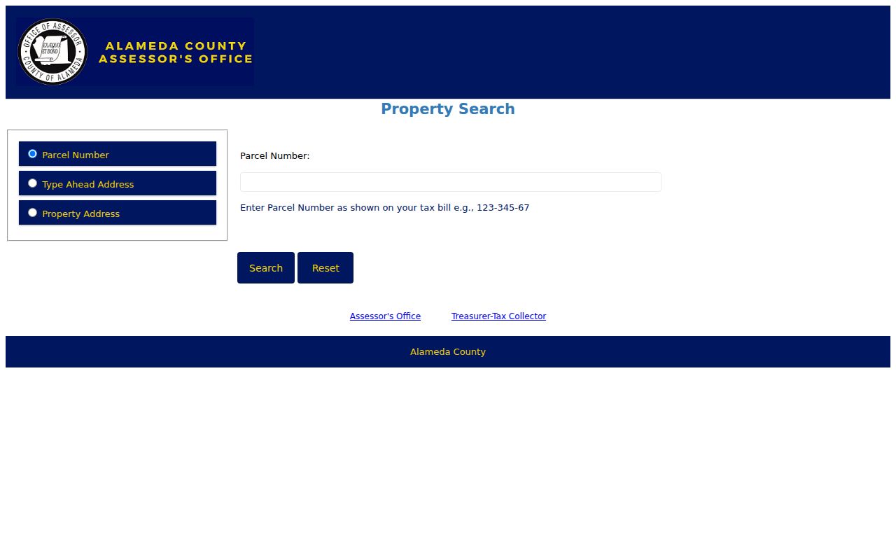
Use the parcel identifier from that type of result when connecting the assessment record to a deed or map.
Assessment is not title. The latest recorded deed is the transfer evidence, and a mailing address may belong to a trustee, agent, or different property. Keep the PropInfo capture as a parcel fact, not as proof of who currently lives at the situs.
Use the Parcel Viewer to Read an Albany Block
The Alameda County Parcel Viewer adds the geography that a text address search lacks. Search by address or APN, pan and zoom, identify a parcel, and inspect the visible layers. A selected polygon can show the parcel sequence around an Albany street, its APN, and nearby land units. That is the right tool for walking a block, especially where house numbers do not match parcel order.
Record the target parcel first. Then select parcels on both sides and across the street without assuming that the next number is the next parcel. Condominiums, parcel combinations, lot-line changes, and multifamily units can make one building or frontage represent more than one assessed interest. The map gives geometry; it does not create a resident list.
For each selected parcel, compare the assessor situs, tax result, and legal description. If the city label says Berkeley or the ZIP points toward a neighboring area, use the incorporated-city layer and the county jurisdiction rather than the postal text. The parcel map is also the place to notice an APN change that requires a recorded map or legal-description bridge.
Note: An address search finds a starting parcel, while the viewer's adjacent geometry supplies the block context.
Albany Records You Can Search by Street
Not every Albany record is truly street-searchable. Property and tax tools accept an address. The recorder's index is party-centered, so the street becomes useful only after the parcel produces a party or legal description. Voter data has statutory access gates, and a lawful individual status check is not a block lookup. The coverage table keeps those differences visible.
| Record set | Keeper | Street-level value | Access path |
|---|---|---|---|
| Property assessment | Alameda County Assessor | APN, situs, use, assessed land and improvement values, map links | Free known-address or APN search |
| Secured or supplemental tax | Alameda Treasurer-Tax Collector | Address or APN, bill period, installments, payment status | Free search; payment functions separate |
| Parcel map | Alameda County | Polygon, adjacent parcels, jurisdiction, selected layers | Free viewer or map materials |
| Deed and lien index | Alameda County Clerk-Recorder | Grantors, grantees, dates, instruments, legal-description chain | 1969-present online; older microfilm |
| Permit and planning file | City of Albany | Project address, applicant, owner, contractor, scope, dates when public | City pages or focused CPRA request |
| Reverse directory | Oakland and Berkeley libraries | Dated address-to-occupant or subscriber clue when the edition covers Albany | Regional collection, often in person |
The Alameda County property-tax search is shown below because tax details are a separate channel from the assessor card. A tax result can help confirm the APN and time period, but it does not replace a deed or establish every occupant.
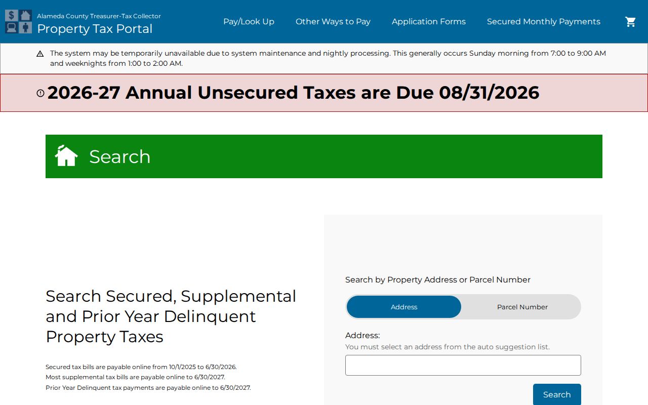
The tax search image reinforces the address-to-parcel step that anchors an Albany street directory.
Situs and Mailing Addresses in Albany
Address words are not interchangeable. A street directory that treats them as one field can join the wrong parcel or the wrong person. Keep the original form in the research notes, then record the normalized form used for each portal.
- Situs address
- The physical location assigned to a parcel and commonly used by assessment and permit systems.
- Mailing address
- The place where a taxpayer, owner, trustee, or agent receives notices; it may be outside Albany.
- Legal description
- The lot, block, tract, map, or metes-and-bounds language in a deed; it is more stable than postal text.
- Parcel
- A mapped land unit identified by an APN; a polygon does not automatically represent one household.
- Criss-cross directory
- A reverse directory that begins with an address or telephone number and works toward a listed name.
At the Berkeley edge, compare the USPS preferred mailing form, the incorporated city shown by GIS, and the legal description in the recorder file. Those three answers can differ without any record being wrong.
Albany Permits Name Project Participants
Albany Building Division and Planning & Zoning records can add an address-based timeline that the property roll cannot. A permit or planning packet may name an owner, applicant, architect, engineer, contractor, or project contact. Public Works material may add sewer lateral, encroachment, sidewalk, or street-work evidence. These are useful names, but they describe participation in a project.
Search by the address and by the project name. Council and planning agendas may hold attachments with more history than a short permit summary. When a file is not online, use the City Clerk's CPRA route and request existing records with a date range. The city need not create a new address roster or answer a question in place of producing a record.
Permit dates need care. An application date can describe work that never finished. A final inspection can help date completion. Neither date, by itself, proves original construction, a transfer, or continuous occupancy. Keep applicant, owner, and occupant as separate columns in any Albany address worksheet.
The Albany Deed Trail Stops Online at 1969
Alameda County says official records date to 1853, but its electronic name index begins in 1969. That is an access-format break, not a loss of Albany title history. Online work can cover the newer period. For 1853 through 1968, the grantor-grantee search moves to microfilm and deed books at 1106 Madison Street, Oakland.
Use the instrument number when ordering a copy. The official online copy workflow asks for instrument number, certified-copy choice, and number of copies, and it displays a $2 convenience charge. The research page lists plain copies at $3.50 per page and certified copies at $4.50 for the first page plus $3.50 for each additional page, subject to the current fee schedule. Mail requests use a filing number or owner information, a self-addressed stamped envelope, and check or money order; credit cards are not accepted for mail or in-person requests.
The Alameda County official-records page is the source for the electronic and microfilm split.
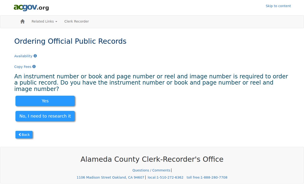
The official-records image marks the point where a modern street search must become a party-name and legal-description search.
Search the current owner as a grantee, identify the seller, and search that seller as an earlier grantee. Preserve trusts, spouses, middle initials, spelling variants, deeds of trust, reconveyances, liens, and releases as separate events. A deed of trust is financing security, not automatically a conveyance.
Reverse Directories for Older Albany Streets
The older street layer comes from regional collections. Oakland Public Library documents Haines San Francisco City & Suburban Criss-Cross directories, Oakland telephone books, and Polk volumes. Berkeley Public Library links a 1916 Oakland-Berkeley Telephone Directory. California Revealed hosts a digitized Polk's Oakland regional directory. Each edition's preface and locality pages must be read before calling an entry an Albany hit.
A telephone book tends to identify a subscriber, number, and service address. A city directory may add occupation, spouse, business, or a widow notation. A Haines criss-cross reverses the direction, making an address or phone number the starting point. The volumes are not interchangeable, and absence can mean a missing edition, a place not covered, an omitted household, a move, or a spelling variant.
For the collection names, years, and entry-reading method, follow the Albany city directory collection reference. The address reference should use those books as dated historical evidence, not rebuild the full library shelf.
Berkeley-Edge ZIPs Complicate Albany Address Search
Albany's primary mailing ZIP is 94706, but USPS regional routing also references 94707 and 94710 near the Berkeley edge. A postal city label does not decide incorporated jurisdiction. The best address check asks three separate questions: what form USPS standardizes, which city GIS assigns to the parcel, and which legal description the deed uses.
Use the USPS ZIP lookup to standardize a complete street and unit. Then check the Alameda parcel viewer and compare the situs address with the mailing label. A ZIP narrows a search. It does not replace an APN, parcel map, or title chain.
There is no authoritative city-wide Albany street-renumbering date in the research file. When an older directory disagrees with a current number, test street abbreviations, map dates, locality scope, unit notation, and legal descriptions rather than inventing a renumbering story.
Parcel Maps Beat House-Number Order in Albany
House numbers suggest a sequence, but parcels follow legal boundaries. An address can sit beside an alley, a corner lot, a condominium interest, or a parcel created by a map change. The county viewer's polygon and APN are the better way to compare both sides of an Albany block. For an older address, use lot, block, tract, map book, adjoining-owner references, and legal-description text when the street line is absent.
A careful street table can report parcel sequence, land use, public assessment traits, recorded transfer dates, permit activity, and dated directory occupants when the volume is lawfully accessible. It should not reproduce sensitive phone numbers, protected addresses, voter details, or a current household roster. Aggregate block observations are more reliable than a list of names detached from source and date.
Note: One parcel can contain separate assessed interests, while one directory entry can omit adults who were present at the same address.
What the Albany Street Directory Cannot Show
There is no public source that reliably lists every household member on an Albany street. The assessor and tax roll focus on property administration. Deeds list transaction parties. Permits list project relationships. Directories reflect a publisher's snapshot. California voter files have statutory use limits, and DMV personal data is restricted by the federal Driver's Privacy Protection Act.
Safe at Home can substitute an address for eligible people facing safety risks, and confidential voter status can keep protected residents out of ordinary displays. Recorded legal descriptions may still identify a property location, so protected information must not be used to defeat the program. A missing result is not an invitation to search around the protection.
Lawful use. Albany street and address records are for personal, lawful research such as parcel history, family history, civic review, and reconnecting. California Penal Code §646.9 addresses stalking, and identity misuse can implicate Penal Code §530.5. Do not use a street directory to stalk, harass, threaten, or intimidate anyone.